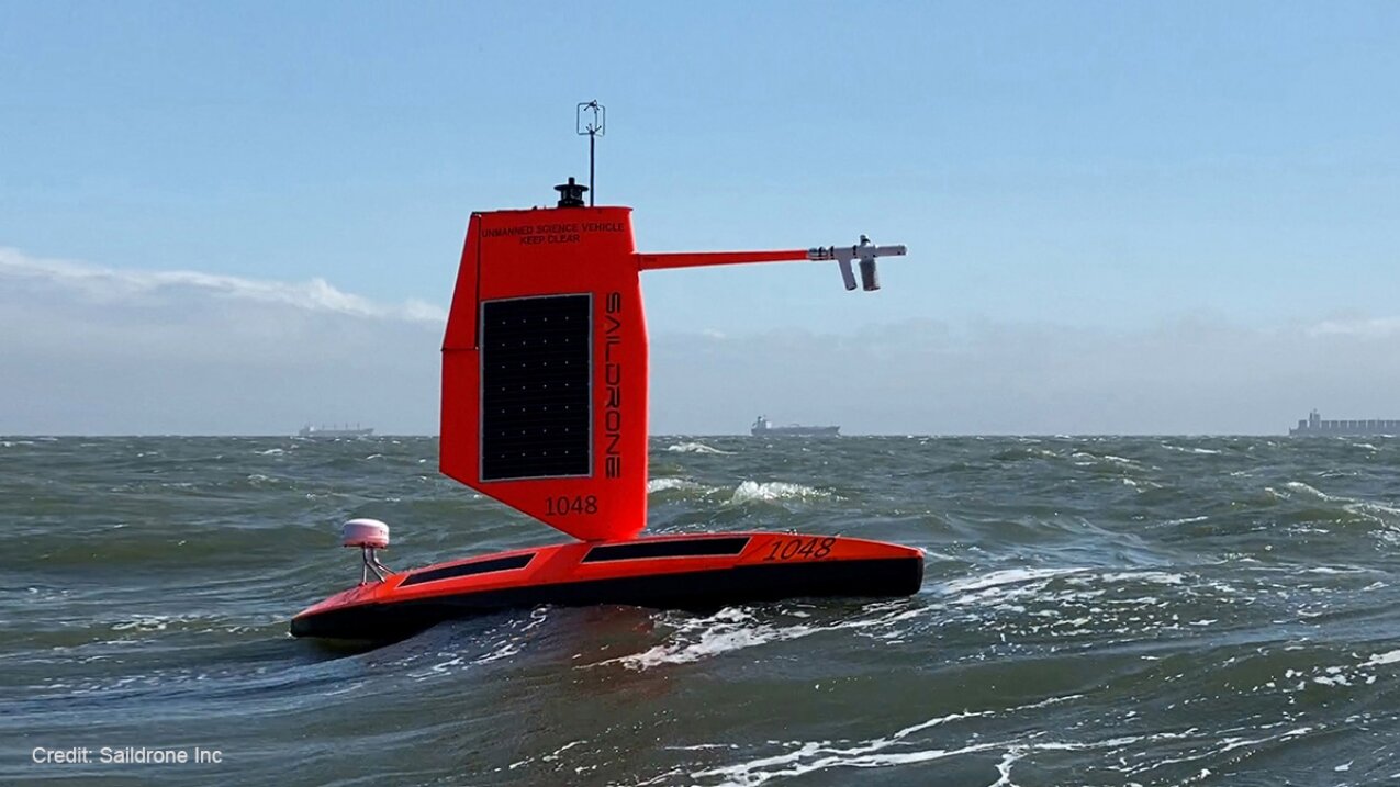
NOAA and Saildrone Inc. have five specially-designed saildrones that they are using in the Atlantic Ocean to collect data 24 hours a day to understand the physical processes behind hurricanes. Credit: Saildrone
On Thursday, US scientists piloted an ocean drone equipped with a camera into a Category 4 hurricane. This was a first of its kind.
The National Oceanic and Atmospheric Administration released dramatic footage showing the craft fighting 50-foot (15 meter) high waves and wind speeds of more than 120 mph (190 km/h) in Hurricane Sam.
This autonomous vehicle, called the "Saildrone", was created by the same company.
It is powered by wind and measures 23 feet (7 meters) in length. A specially-designed "hurricane wings" protects it from harsh conditions while it collects data that will help scientists discover more about one the most destructive forces on Earth.
According to Saildrone's website, it can measure wind speed and direction as well as barometric pressure, temperature and humidity.
Video footage taken aboard Saildrone 1045 during Hurricane Sam, Sept. 30, 2021
Greg Foltz, a NOAA scientist, stated that "we expect to improve forecast models which predict rapid intensification hurricanes."
He said that rapid intensification is when hurricane winds become stronger in a matter hours and poses a serious threat for coastal communities. Data from uncrewed systems can help improve models.
Scientists warn of climate change, which is warming the oceans and making hurricanes stronger, increasing the risk for coastal communities.
Video footage taken from Saildrone 1045, and animation showing Hurricane Sam's location on September 30, 2021.
Learn more Hurricane Ida became a monster because of a huge warm patch in the Gulf of Mexico
2021 AFP
