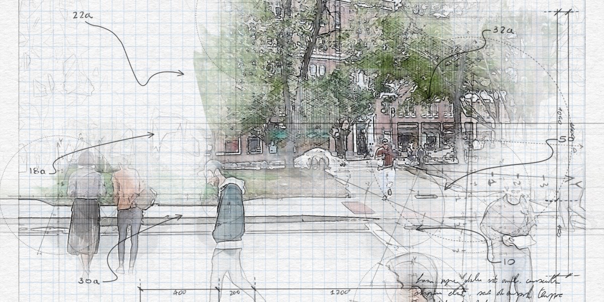
While city planners can use standard methods to estimate the amount of car traffic a project will generate, they don't have a comparable method for estimating foot traffic. Andres Sevtsuk is the director of MIT's City Form Lab and has now published a model that might help.The model calculates pedestrian trips between common destinations and origins like offices, homes, amenities and transit stops. Sevtsuk had his observers count the pedestrians along 60 streets in Cambridge's Kendall Square before and after the covid-19 pandemic. This allowed for a more accurate estimation of the number of people walking along all streets in the neighborhood, which helped to create a larger picture of pedestrian flows.Sevtsuk states that the model can be used in almost any urban setting. Even if we are planning a new area we can use the model to predict the pedestrian flow by knowing the layout of the future development and the land uses.


