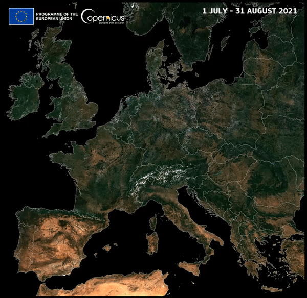
In a sequence of images, you can see how Europe dried up over the summer when there was no rain.
The video was posted by the European Union's Copernicus Program, which operates the constellation of Earth-observing satellites.
The whole of Europe has been affected by the dry spell.
There is significant damage to vegetation in areas in the south and east of England, northern France, Germany, Poland and Eastern Europe.
RECOMMENDED VIDEOS FOR YOU...
Satellite view shows scope of flooding in Pakistan.
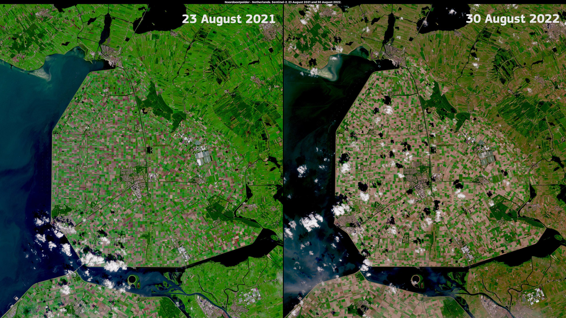
Almost half of Europe was considered to be in warning conditions in August due to a lack of soil hydration and negative effects on vegetation.
Europe has been hit by a number of severe weather events in the past. The water levels in the Rhine, Danube, and Po dropped so low that the waterways were closed for traffic and the risk of forest fires increased.
This year's European summer is thought to be the driest on record.
We encourage you to follow us on social networking sites.
All Rights Reserved © 2024


